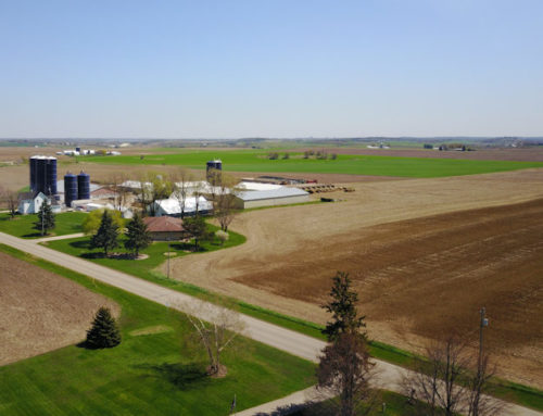
Agricultural triage.
By all means a farmer’s or agricultural facility’s nutrient management program is an important factor for determining how many acres of land are needed. However, where will this land come from? One approach for determining what areas could benefit from a bedrock mapping survey is to start with a type of triage. Triage is a medical term that provides a method of managing limited resources based on need and benefits. If there were an unlimited amount of land and money, attempting to prioritize the land use and classify it for a nutrient management program would be less of an issue. With NR 151’s restrictions and cost being a driving factor, farmers need to determine what land is most important for managing their manure application. Here are some ideas, based on personal opinion, of how to sort through land use. Factors include but are not limited to currently available usage, cost, and greatest benefit.
Eliminate cropland and pastures where manure may not be mechanically applied.
Since these areas are not allowed to have manure spread on them, there is no need to map the bedrock. These areas include land with less than twenty-four inches of soil, area within 250 feet of a private well, area within 1000 feet of a municipal well, area within 300 feet upslope or 100 feet downslope of a direct conduit to groundwater, channels that flows to a direct conduit to groundwater, and wetlands. The only benefit for mapping bedrock in areas currently identified as less than two feet is that one may find it has greater than two feet of soil. In this case, a parcel that was could not have manure spread on it is now a potential asset.
Eliminate cropland and pasture that are the least restrictive and easiest to permit.
First, areas with greater than twenty feet of soil are not apparently a concern. I have discussed some of the limitations of the maps and overlays provided by the DATCP’s SnapPlus website; however, it is currently one standard that is allowed to define depth to Silurian bedrock. From a farmer’s or agricultural facility’s point of view, if SnapPlus classifies the land to your satisfaction, there is likely little benefit for additional testing. At the same time, this approach may not meet the intent of the US EPA’s mandate or the state’s need for NR 151.
Delay classifying areas that may cost the most to investigate.
If land is readily available, then it seems one would benefit from focusing on reducing cost. Areas with very shallow bedrock that may ungulate or have possible karst activity could take more effort to investigate than areas with greater soil thickness. Costs increase with more detail.
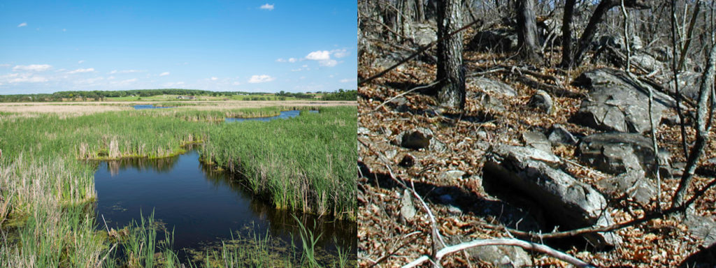
Areas near wetlands and exposed bedrock have little to no promise of passing.
Locate areas that may benefit the most from reclassification.
The term reclassification is used since SnapPlus currently (January 2019) defines the Silurian bedrock surface. The most restrictive to less restrictive classifications are less than two feet of soil, two to three feet of soil, three to five feet of soil, five to twenty feet of soil, and great than twenty feet of soil. Also, soil texture plays a role. Though NR 151 provides detailed descriptions, there are, more or less, three basic categories: a) all sand, b) all clay, and c) soils that are a mix of sand and clay. The least restrictive is a mix of sand and clay. All clay and all sand are the most restrictive. I suspect that all clay encourages too much run off and all sand permits too much manure to flow through to the bedrock too quickly. With this in mind, a facility needs to decide the benefits of reclassifying an area from more restrictive classification to a less restrictive one. In some cases, reclassification may reduce restrictions by one or more levels.
For example, there is great benefit if one can demonstrate that the depth to bedrock is greater than twenty feet. There are no obvious restrictions pertaining to Silurian bedrock that is great then twenty feet deep. In contrast, areas labeled as having less than two feet of soil may be of use if one can demonstrate there is more than two feet of soil. There is even greater benefit if one can demonstrate greater than three feet of soil. As a minimum, it seems well worth the effort, if one can go from not being able to use the land to limited use. Of course, people managing the land need to determine the benefit.
Other considerations.
Hindsight is 20-20 and there are no absolute answers or guarantees. When none of the above makes much difference, then one may want to consider these additional factors. First, what is the best use of the land? How far is the pastor or cropland from storage? What land is the easiest to access for infield bedrock verification (e.g. soil preparation, planting, harvesting, weather, and general access)? Will the land need ground truthing with a drill rig or excavator?

The most cost effective approach for mapping bedrock is to prioritize usage before an infield bedrock verification study.


